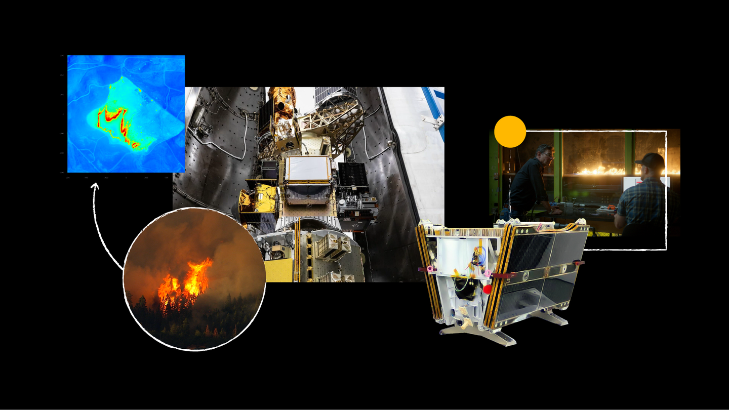
FireSat Satellite Launches to Enhance Early Detection of Smaller Wildfires

FireSat Constellation Launch: A Breakthrough in Wildfire Detection
Introduction to FireSat Satellite
The first satellite from the FireSat constellation has successfully made contact with Earth. This groundbreaking satellite marks the beginning of a larger network, with plans for over 50 additional satellites. The innovative design of FireSat aims to utilize artificial intelligence (AI) to identify and monitor wildfires, even those as small as about 5 by 5 meters, roughly the size of a classroom.
Launch Details
FireSat was launched from Vandenberg Space Force Base in California as part of SpaceX’s Transporter-13 mission. This event represents a significant step forward in wildfire management, as it introduces advanced technology into a field that desperately needs it.
Challenges with Current Wildfire Monitoring
Currently, many wildfire management agencies depend on outdated satellite imagery that often lacks sufficient resolution or is only refreshed a few times each day. This limitation can result in delayed responses to wildfires, allowing them to escalate before authorities can take action. FireSat aims to change that landscape by providing high-resolution imagery that updates globally every 20 minutes, thus enabling quicker responses to emerging wildfire threats.
Collaboration and Funding
FireSat is a collaborative effort that involves multiple organizations dedicated to firefighting and technology. Key partners in this initiative include:
- Google Research: Providing expertise in AI and data analysis.
- Muon Space: Contributing satellite technology and deployment strategy.
- Earth Fire Alliance: Working to integrate community needs and environmental considerations.
- Moore Foundation: Offering financial support and strategic guidance.
The funding for the initial satellites of the FireSat constellation comes, in part, from Google.org, which has invested $13 million through its AI Collaborative: Wildfires project. This initiative focuses on leveraging the power of AI to mitigate the economic, social, and environmental harm caused by catastrophic wildfires.
How FireSat Works
The functionality of FireSat is primarily driven by its AI capabilities, enabling it to analyze vast amounts of data and detect wildfires more efficiently than traditional methods. Some key features include:
- High-resolution Imagery: Offers detailed visuals that improve identification of fires, including smaller flare-ups that may go unnoticed.
- Frequent Updates: With updates every 20 minutes, responders can react quickly to new fire developments, potentially reducing the chance for widespread disaster.
- AI Algorithms: Enhanced algorithms can process data and highlight areas of concern, allowing quicker decision-making for emergency responders.
Impact on Wildfire Response
By providing timely and accurate information, FireSat is set to revolutionize the way authorities manage wildfires. Its data can lead to faster deployments of resources and potentially save lives, homes, and ecosystems that might otherwise be affected by uncontrolled wildfires.
Future Prospects
The success of FireSat could pave the way for additional technological advancements in wildfire management. More satellites in the constellation will enhance coverage and improve the reliability of the data collected, ultimately leading to smarter and more effective responses against wildfires globally.
In summary, FireSat represents a significant technological advance in wildfire detection and management. Through collaboration and innovation, this project has the potential to greatly improve the capabilities of emergency responders and help protect communities from the devastating impact of wildfires.


